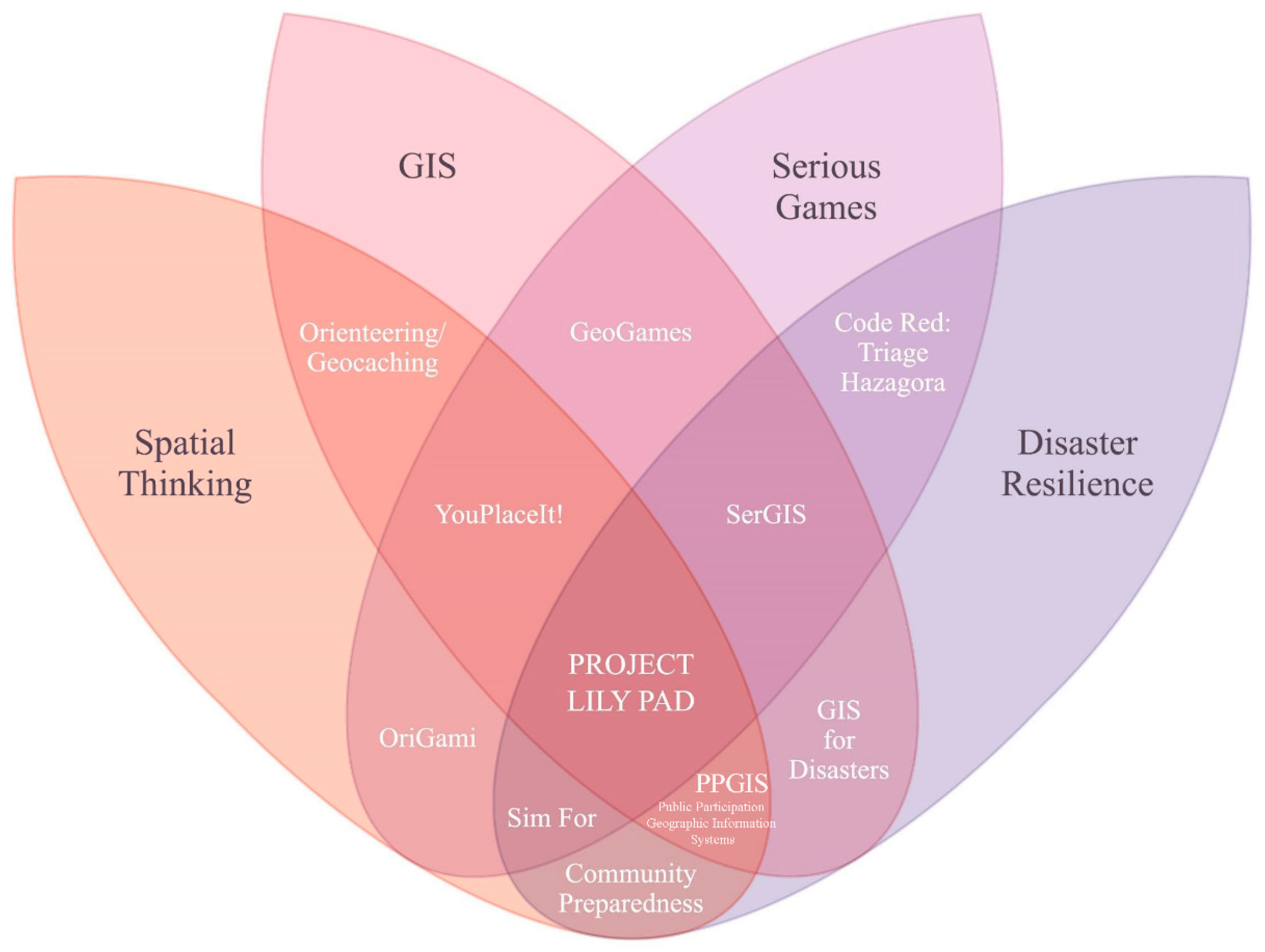
A serious geogame created by the Geographic Information Systems for Disaster Resilience Spatial Thinking Site, an interdisciplinary team of academics and game developers funded by a grant from the National Science Foundation. As part of the project, our team authored a research paper detailing its goals, methods, and effectiveness, which has since been published in the International Journal of Geo-Information. It has also been covered in multiple articles by ESRI.

My role was to design the game based on the background research we had conducted on geogames, game-based learning, and the concepts of disaster resilience and spatial thinking that we aimed to teach. I also helped create the UI and find assets to use as landmarks. We created the game using Unity, and our map was made by importing real-world geographic data from OpenStreetMap through the use of ArcGIS, Mapbox, and CityEngine.

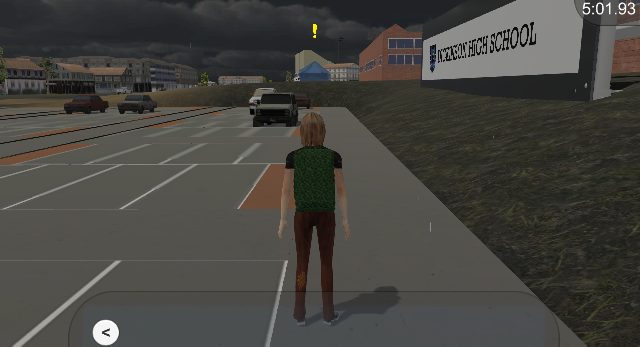
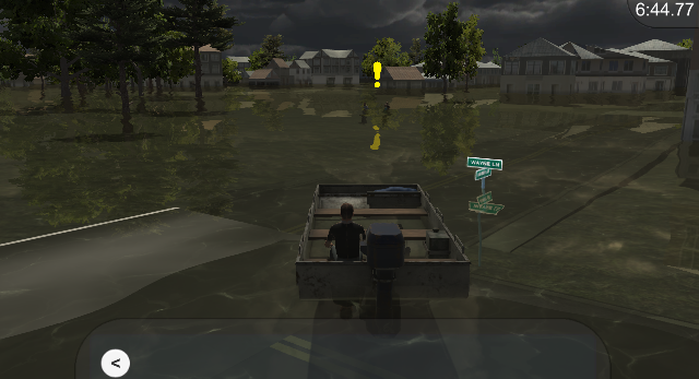
The game takes place in Dickinson, TX, as it floods during Hurricane Harvey in 2017. Players are tasked with helping people in need as a volunteer, navigating the city with only a map and learning about the real-world techniques used in preparedness and response. The purpose of these activities is to teach players spatial thinking and disaster resilience, skills identified as lacking in disaster relief scenarios.
